File:Providence Neighborhoods Map.svg

Size of this PNG preview of this SVG file: 460 × 600 pixels. Other resolutions: 184 × 240 pixels | 368 × 480 pixels | 589 × 768 pixels | 785 × 1,024 pixels | 1,275 × 1,662 pixels.
Original file (SVG file, nominally 1,275 × 1,662 pixels, file size: 742 KB)
Summary
| Description |
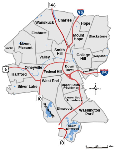
English: Providence Neighborhoods Map
Русский: Карта Районов Провиденса |
| Date | |
| Source | Own work |
| Author | FaustGT |
Licensing
| This work has been released into the public domain by its author, FaustGT. This applies worldwide. In some countries this may not be legally possible; if so: |
File history
Click on a date/time to view the file as it appeared at that time.
| Date/Time | Thumbnail | Dimensions | User | Comment | |
|---|---|---|---|---|---|
| current | 02:58, 3 March 2017 | | 1,275 × 1,662 (742 KB) | Babbage | Correct mislabeled neighborhood |
File usage
There are no pages that link to this file.